Planning
Practical guides to help you plan your Crete trip — weather, transport, maps and orientation.
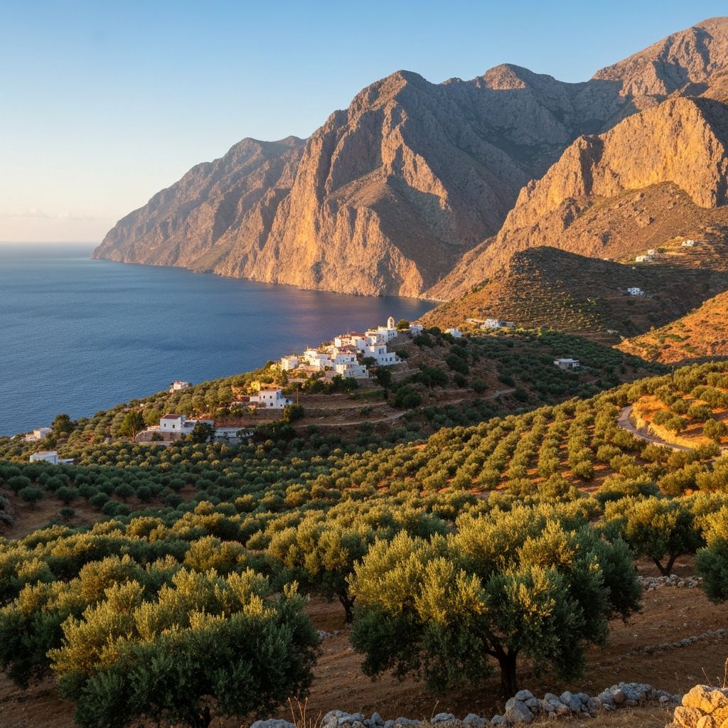
Planning a trip to Crete is straightforward once you understand the island's geography and seasonal patterns. Crete is large — 260 kilometres from end to end — so the region you base yourself in significantly affects what you can do. Most visitors focus on one or two regions rather than trying to cover the whole island in a single trip.
The main tourist season runs from May to October, with July and August the busiest and most expensive months. May, June and September offer the best combination of warm weather, swimmable sea and manageable crowds. The shoulder months of April and October suit those interested in hiking, culture and the local pace of life.
Getting to Crete is easy from most European cities, with direct flights to both Heraklion (HER) and Chania (CHQ) airports from spring through autumn. Ferry connections from Athens's Piraeus port run year-round, with overnight crossings to both Heraklion and Chania.

Getting to Crete: Flights, Ferries and Connections
How to reach Crete from mainland Greece and international destinations — airports, ferry ports, routes, journey times and practical tips.
Weather in Crete: A Month-by-Month Guide
A practical guide to Crete's climate — what to expect each month, when to visit for beaches, hiking, or avoiding crowds, and what to pack.

Places to Visit in Crete: A Selective Guide
A selective guide to the places in Crete worth visiting beyond the obvious, with notes on what makes each one worth the journey.

Map of Crete: Regions, Towns and Geography
A practical overview of Crete's geography, regions, main towns and distances to help plan your trip.